The New York City Municipal Archives released a whole bunch of historical photos of NYC.
The Atlantic published 58 of them on their website. Some of them were so interesting for me that I decided to try to find the "equivalent view" on Google Earth. With a city as large as NYC, and with so many characteristic buildings, I knew that people would have "built" enough 3-D representations of the existing skyline so as to be able to show "equivalent" views. With all those 3-D buildings in place, it was relatively easy to find the equivalent view of the photographer, be it perched on one of the towers of the Brooklyn Bridge, on the roof of a no-longer-existing building, or in the sky where an airplane or blimp would have flown so many decades ago. One of the things that struck me after finding equivalent views was that New York city in 2012 is far less of a "port city" than it used to be. What do you think?
"A view of the city from the Brooklyn Tower of the Brooklyn Bridge, on April 24, 1933. (Eugene de Salignac/Courtesy NYC Municipal Archives)"

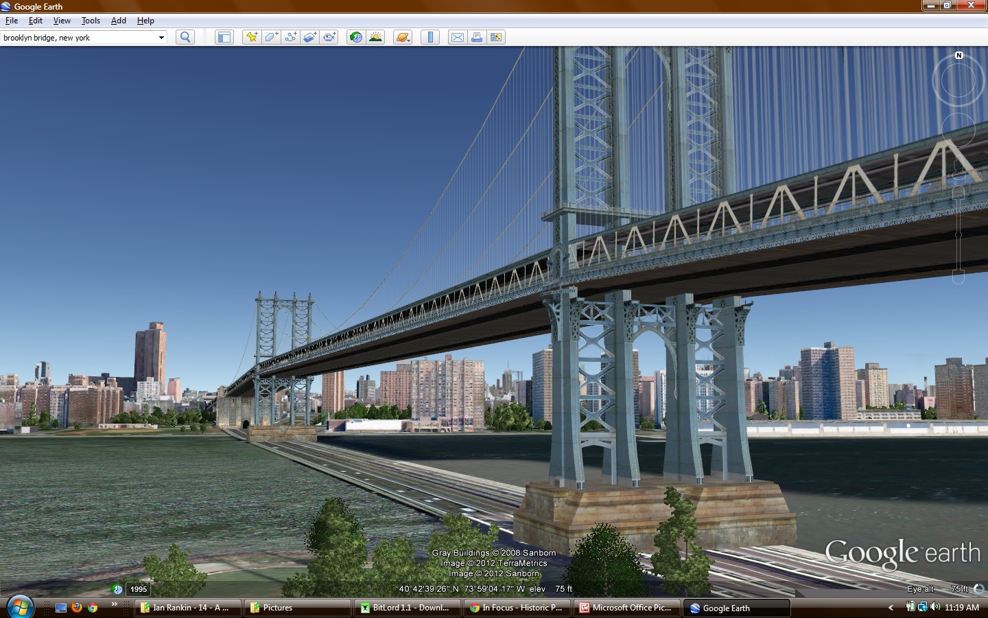
"Manhattan Bridge, under-construction, seen from the roof of Robert Gair Building, showing suspenders and saddles, on February 11, 1909. (Eugene de Salignac/Courtesy NYC Municipal Archives)"

"Aerial view of New York City, looking north, on December 16, 1951. (Courtesy NYC Municipal Archives)"


"The Queensboro Bridge, leading to Manhattan, seen on May 1, 1912. (Eugene de Salignac/Courtesy NYC Municipal Archives)"


No comments:
Post a Comment